OUTSIDE TIMES
GREATEST ADVENTURES
Outside Adventures
We were meant to live for so much more than just work, rest and more work! There is a world outside to explore and so many exciting ways to experience the great outdoors. Join us on these adventures and be entertained by the possibilities of actually having a life!

Van Life
If you’re prepped and have the right mindset, van life can be a perfect way to cut your expenses and see the world

Rock Climbing
Why do you want to rock climb? That is the first question you need to answer before you start rock climbing.
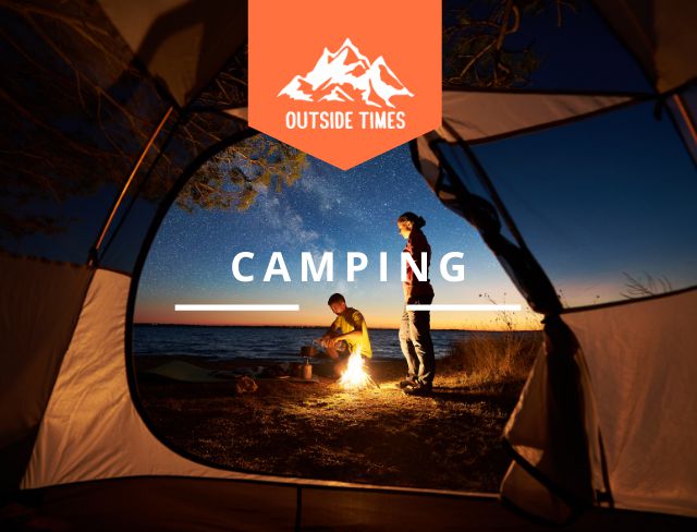
Camping
Camping is a popular and ancient recreational activity that many people today. Many people choose to go camping
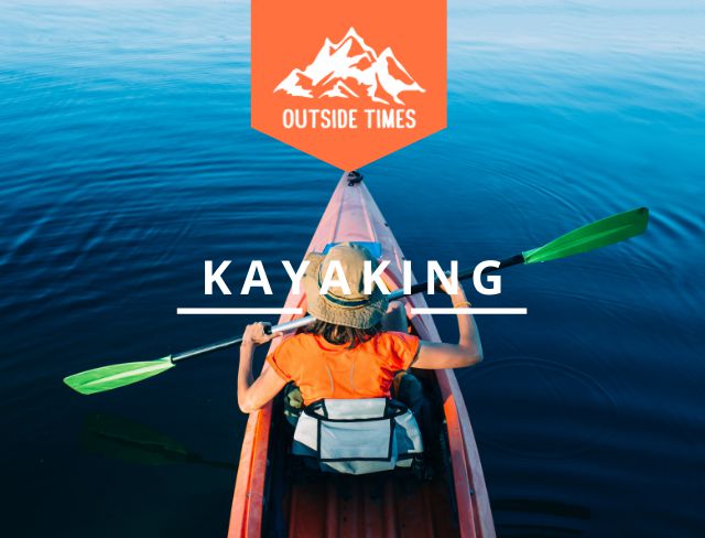
Kayaking
Kayaking is a fantastic way to spend your free time, get fresh air, and enjoy the beauty of Mother Nature

Hunting
Hunting is a sport or hobby in which an individual or team pursues game animals, usually relying on firearms
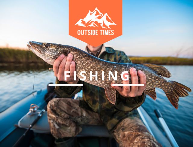
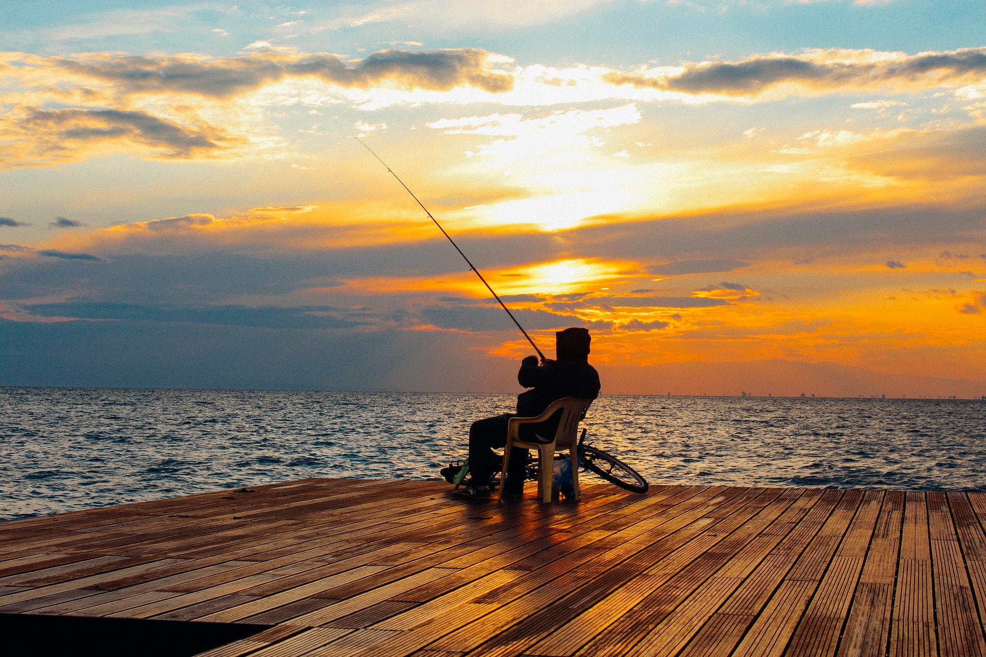
Fishing
Fishing is a timeless pastime enjoyed by people of all ages and cultures. It’s as old as the earliest recorded civilizations

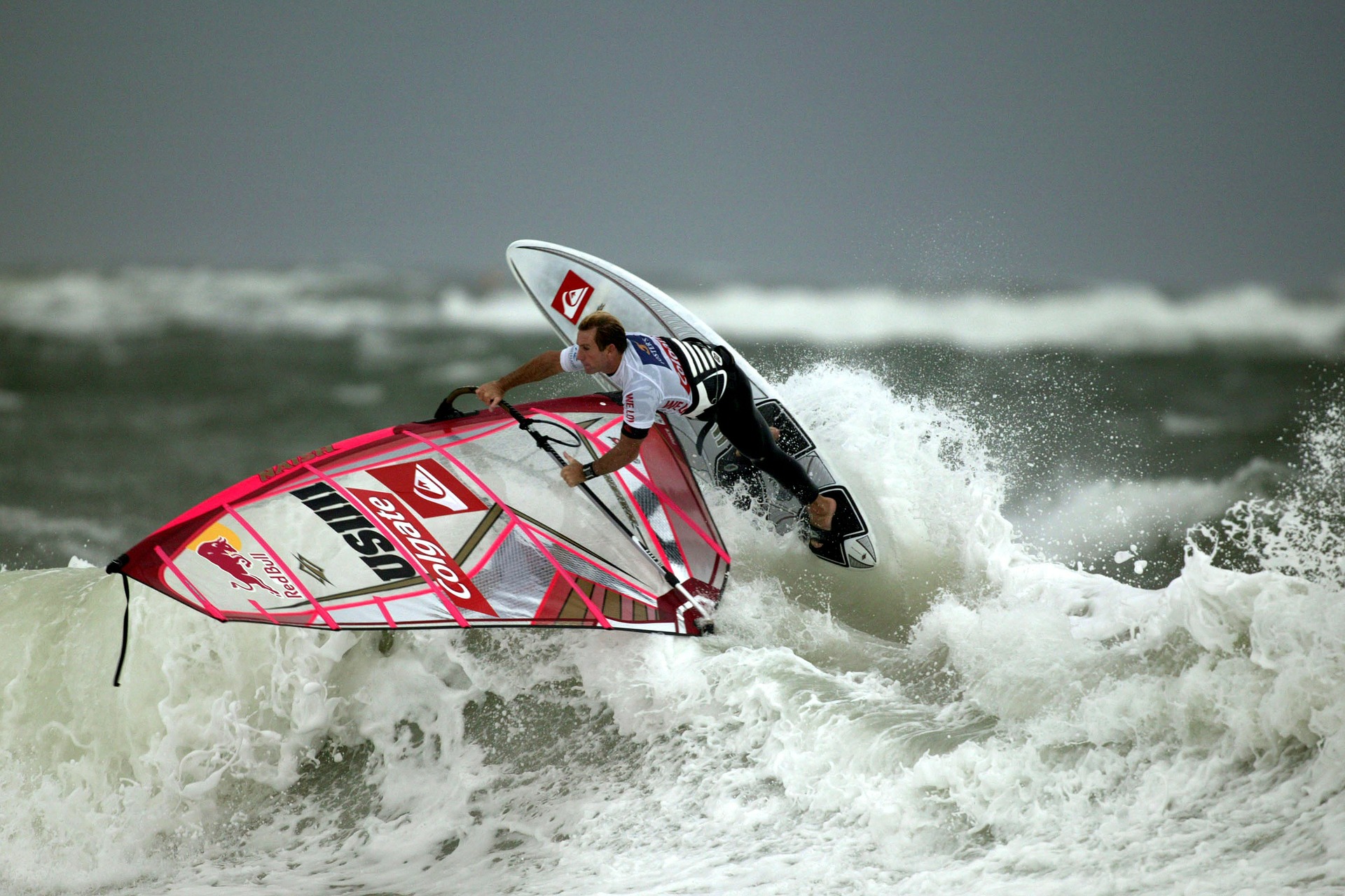
Extreme Sports
Extreme sports are a unique class of sporting activities in which participants engage in physical and often dangerous challenges

Boats
Whether it is an eco-friendly boat or a luxury yacht, boats are objects of beauty, with many different types.

Biking
Biking is among the oldest forms of transportation and, it appears, one of the most enjoyable activity one can partake in

Latest Posts


Product Reviews


What Is Outside Times?
Lorem Ipsum is simply dummy text of the printing and typesetting industry. Lorem Ipsum has been the industry’s standard dummy text ever since the 1500s, when an unknown printer took a galley of type and scrambled it to make a type specimen book. It has survived not only five centuries, but also the leap into electronic typesetting, remaining essentially unchanged. It was popularised in the 1960s with the release of Letraset sheets contaianing Lorem Ipsum passages, and more recently with desktop publishing software like Aldus PageMaker including versions of Lorem Ipsum.

FIND THE LATEST EVENTS
Lorem Ipsum is simply dummy text of the printing and typesetting industry. Lorem Ipsum has been the industry’s standard dummy text ever since the 1500s, when an unknown printer took a galley of type and scrambled it to make a type specimen book. It has survived not only five centuries, but also the leap into electronic typesetting, remaining essentially unchanged. It was popularised in the 1960s with the release of Letraset sheets containing Lorem Ipsum passages, and more recently with desktop publishing software like Aldus PageMaker including versions of Lorem Ipsum.
ADVENTURE AWAITS
Lorem Ipsum is simply dummy text of the printing and typesetting industry. Lorem Ipsum has been the industry’s standard dummy text ever since the 1500s, when an unknown printer took a galley of type and scrambled it to make a type specimen book. It has survived not only five centuries, but also the leap into electronic typesetting, remaining essentially unchanged. It was popularised in the 1960s with the release of Letraset sheets containing Lorem Ipsum passages, and more recently with desktop publishing software like Aldus PageMaker including versions of Lorem Ipsum.